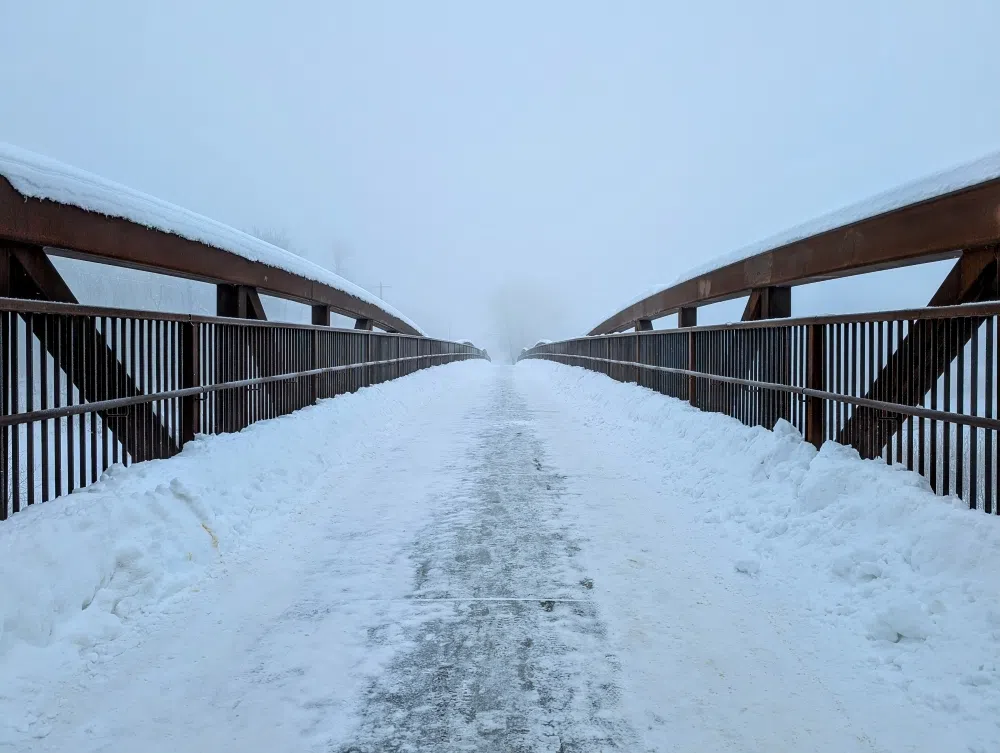
A large portion of Alberta is under a Snowfall Warning. Photo by Stephen Strand
A large portion of Southern Alberta is under a Snowfall Warning today,
From east of Drayton Valley in the north to the southeastern corner of the province is under a Snowfall Warning, because the area is expected to see heavy snowfall today, with upwards of 30 cm of snow expected.
The snowfall will intensify this morning and will continue throughout the day, with the heaviest snowfall will be in the foothills and in the area of Cypress Hills.
This snowfall is expected to end late Friday night over western Alberta and early Saturday morning for southeast Alberta.
Due to the snow, travel will likely be challenging, and visibility will likely be reduced at times.
As a result, prepare for quickly changing and deteriorating travel conditions, so allow for extra travel time and take frequent breaks and avoid strain when clearing away snow.
To stay up to date on weather alerts in Alberta, click here.
This snowfall the province is seeing is also causing heightened avalanche risks in Kananaskis Country.
In the range from northwest of Canmore down to the Mist Mountain area, there is a High risk of avalanches occurring.
The strong winds and new snow overnight and into today (Friday) will likely trigger a natural avalanche cycle.
In this area, expect slab conditions to change drastically as you move into wind-exposed terrain.
In the range from the Mist Mountain area to the American border, there is a Considerable risk of an avalanche happening.
There are wind slab formations have been extensive and could extend into openings below the treeline.
Not only that, but persistent slab avalanches are most likely in sheltered areas at treeline and below.
To check on avalanche risks before heading out to the mountains, click here.
Comments